-40%
Brookhaven East Patchogue Yaphank NY 1873 Maps with Homeowners Names Shown
$ 6.33
- Description
- Size Guide
Description
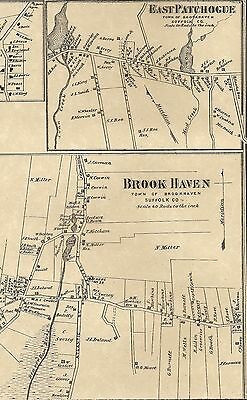
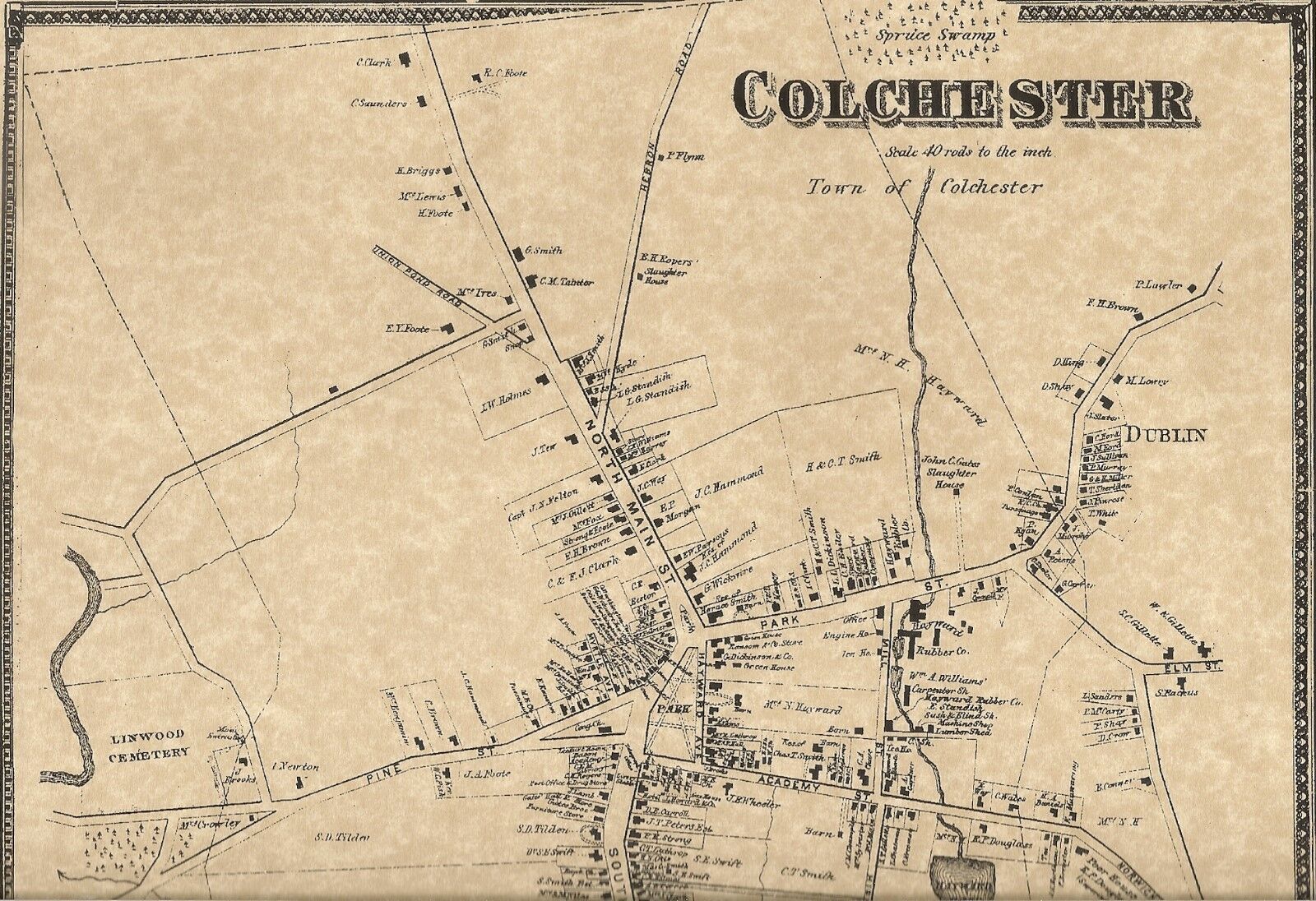
This is a 3 map set of the entire Township of Brookhaven, NY from 1873. This map set was recently reproduced on fine natural color parchment. They're 11"x 17" and suitable to fit a standard size frame.The pictures provided only show portions of the actual maps!
Please contact me with any questions!
Contained on the maps are finely detailed locations of the homeowners of the towns of
Brookhaven, East Patchogue, Yaphank, Millers Place and others
.
The first picture shows the towns of East Patchogue and Brookhaven. Due to limited size of my scanner bed, portions of the map may not be shown. Please check out the pictures provided for better detail. The second picture shows the town of Yaphank and Millers Place. The third picture shows the entire section of the Northern area of Brookhaven. The fourth and fifth picture shows the Southern section of the area of Brookhaven.
Some of the surnames which are clearly printed are Ireland, Horton, Miller, Brown, King, Howell, Woodhull, Dickerson, Jones, MacDonald, Davis and so many more that it's impossible to list! Also indicated on the map are some named streets, railroads and rivers/streams. Please keep in mind that this map set covers a vast area and many of the more heavily populated areas aren't shown or are very small in print. What a great genealogical treasure to be able to locate the homes of one or more of your ancestors!
BUYERS SPECIAL-------BUY ANY 3 LISTINGS OR MORE AND RECEIVE FREE SHIPPING!
Add a map to your own listings. FREE Trial!
